
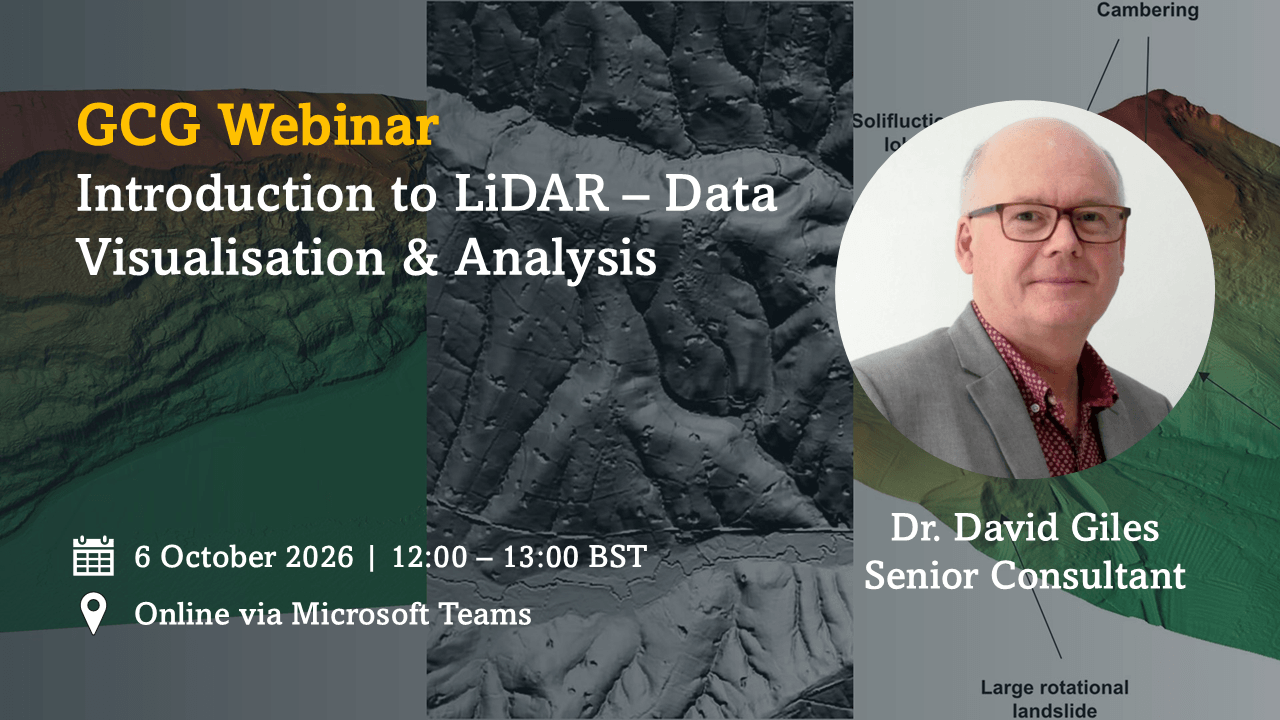
Dr David Giles, Senior Consultant, Geotechnical Consulting Group (GCG) will be hosting a lunchtime technical webinar introducing the fundamentals of LiDAR (Light Detection and Ranging) and demonstrating how it can be used to support ground investigation, terrain evaluation and the assessment of site geohazards.
Webinar Details
- Date: Tuesday 6 October 2026
- Time: 12:00–13:00 (BST)
- Format: Online via Microsoft Teams
- Duration: 45-minute presentation + 15-minute Q&A
Webinar Precis
LiDAR (Light Detection and Ranging) has become an increasingly valuable tool in ground investigation and terrain assessment, providing high-resolution topographic data that can reveal subtle landscape features often undetectable through traditional survey methods.
This webinar will introduce the principles of LiDAR and explain how the technology can be used to visualise and analyse terrain data to support engineering and environmental projects. Through practical examples, attendees will see how LiDAR can help identify and assess potential geohazards, including landslides, sinkholes and ground subsidence, enabling more informed site investigations and reducing project risk.
The session will demonstrate how LiDAR data can complement traditional ground investigation techniques, providing engineers and geoscientists with additional insight into site conditions and supporting more effective planning and decision-making.
Whether you are new to LiDAR or looking to broaden your understanding of its applications, this webinar will provide a practical introduction to one of the industry’s most powerful terrain analysis tools.
To receive your Teams joining link, please contact: d.darling@gcg.co.uk
We look forward to welcoming you to the session.