We have specialist knowledge in all aspects of engineering geology
We offer in depth expertise in geological and geohazard ground model development including interpretation of complex Quaternary domains, together with the integration of advanced geospatial technologies. Our capabilities include:
- Remote sensing, GIS, and spatial data modelling including digital geohazard assessment
- LiDAR and InSAR interpretation for terrain analysis and ground movement monitoring
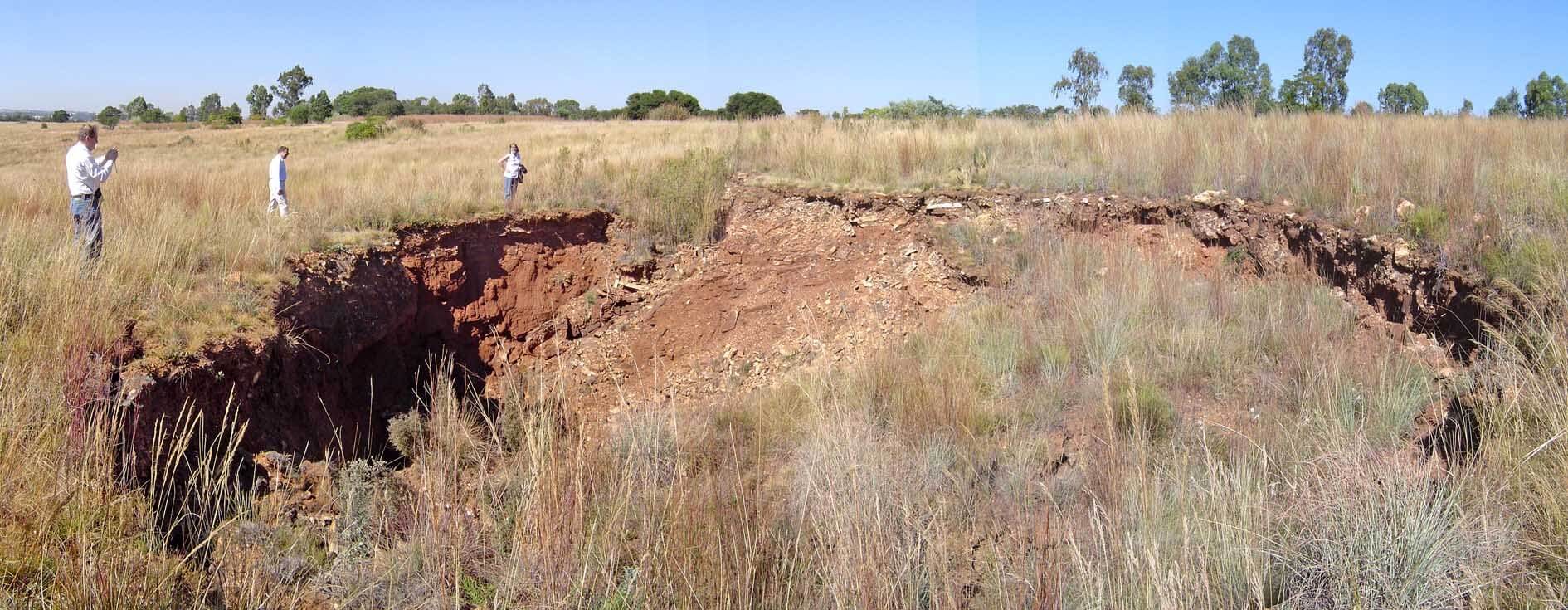
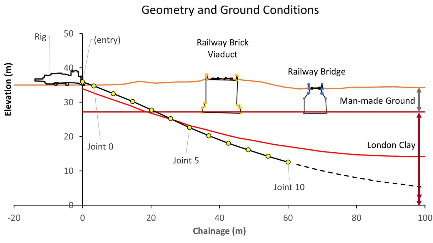
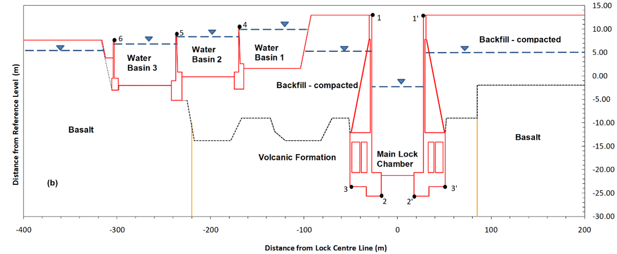
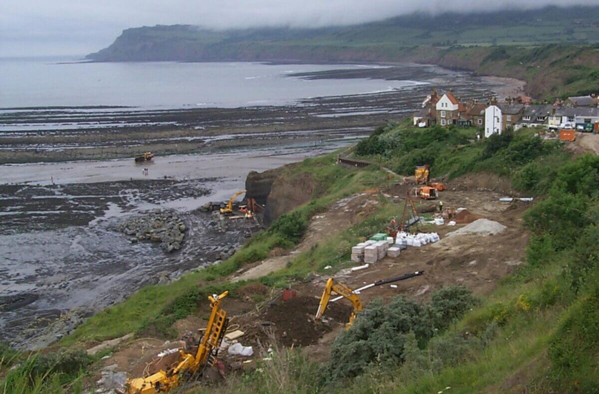
- Assessment of geological hazards and problematic ground conditions
- Geotechnical hazard identification, risk assessment, and development of risk registers
- Geotechnical data management
- Geohazard assessment of problematic chalk terrains
- Specification of engineering geophysical surveys and data interpretation
- Coal mining risk assessments
Related projects
Many of our projects are confidential, but here are a few that showcase our work: